top of page


ABOUT


02
ABOUT US

YOUR VISION, OUR FOCUS
REDEFINING INSIGHT THROUGH AERIAL IMAGERY
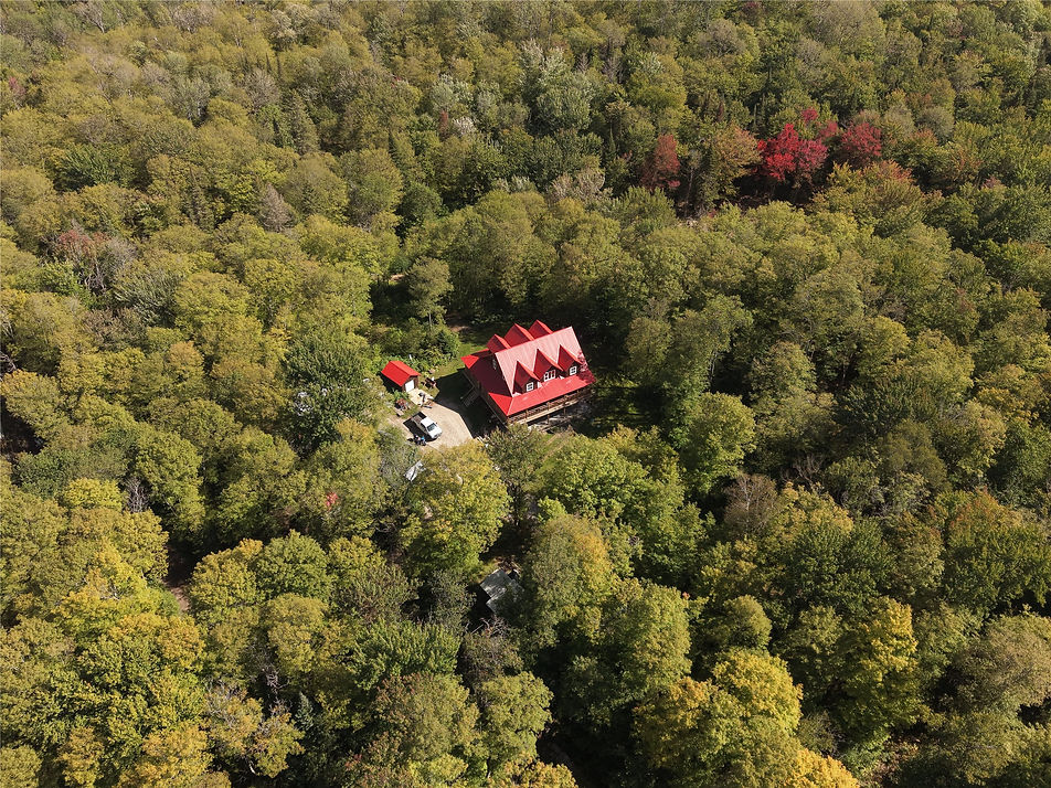
At Aerial Site Intelligence Group, we leverage advanced drone technology to provide high-resolution aerial photography and mapping services. Our expertise helps businesses, government agencies, and homeowners access critical data for informed decision-making in areas like construction, site planning, and environmental monitoring. Discover how our innovative aerial solutions can transform your project.


bottom of page